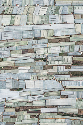
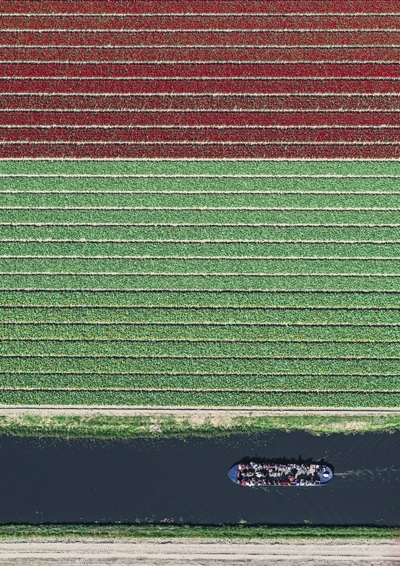
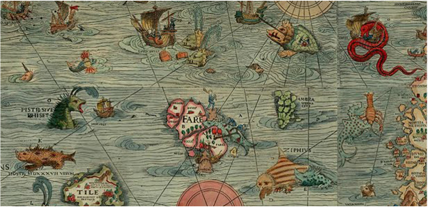
 The sea was for centuries a place of adventure and journeys; conquest, war and trade. 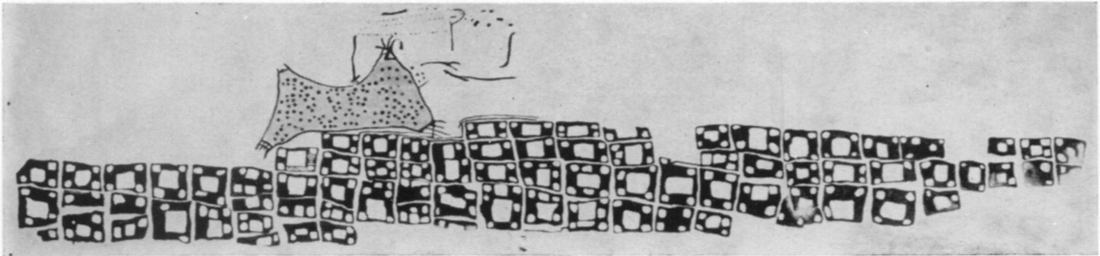 Çatal Hüyük: A Neolithic Town in Anatolia For more than 5000 years ago, maps were fundamentally tools used for the map maker, to trace location of places of concern, of importance, and used by many as a source of knowledge about the geography of the area being mapped. Through maps, we recognise their meaning, value, and consequence in our lives, historically and currently. This evolution is informing each viewing of historic map connected to my project. We have changed our perception over time, our maps have evolved. Maps depicted small areas, and are now viewed in ways where no boundaries subsist. Maps were illustrative and symbolic in nature, showing description that the map maker wished to documentation, and the relationship between features of the map and truth on earth was seldom accurate. Currently, cartographers measure and map with precision and consistency, using satellites, and we see maps as critical. The Atlantic has an intriguing slideshow comparing cartographic representations of major cities in the 16th century, and modern Google Maps views. In many cases, the difference in underlying geography are striking: london’s Thames river actually bends in a totally different way from what was initially mapped, Istanbul’s peninsula is very different in shape, and Milan’s nowhere near as round at its core as older maps portray. Artists Bernhard Lang and Emmanuel Coupé Kalomiris are creating critical dialogues, casting light on the crucial issues of climate change. “What interests me is that there is no square left in the world that hasn’t been shaped by humanity, not even our forests,” Lang says. “Nature is in retreat everywhere. That’s something you cannot comprehend from our usual perspective on the ground.” These views are inspiring my progression, allowing me to shift scale, perception, and explore the graphic language and meaning of my drawings. We understand the impossible task of creating an accurate representation of our world, since the 2nd century, the Roman Empire’s cartographers knew that drawing a precise map of the earth is practically impossible; the world is round, a map is flat. Perhaps the most challenging exercise is capturing the essence of our world; the unfailing change.
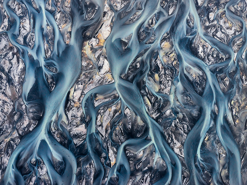 AERIAL SERIES - IS8904, Iceland Photo © copyright by Emmanuel Coupe.
0 Comments
|